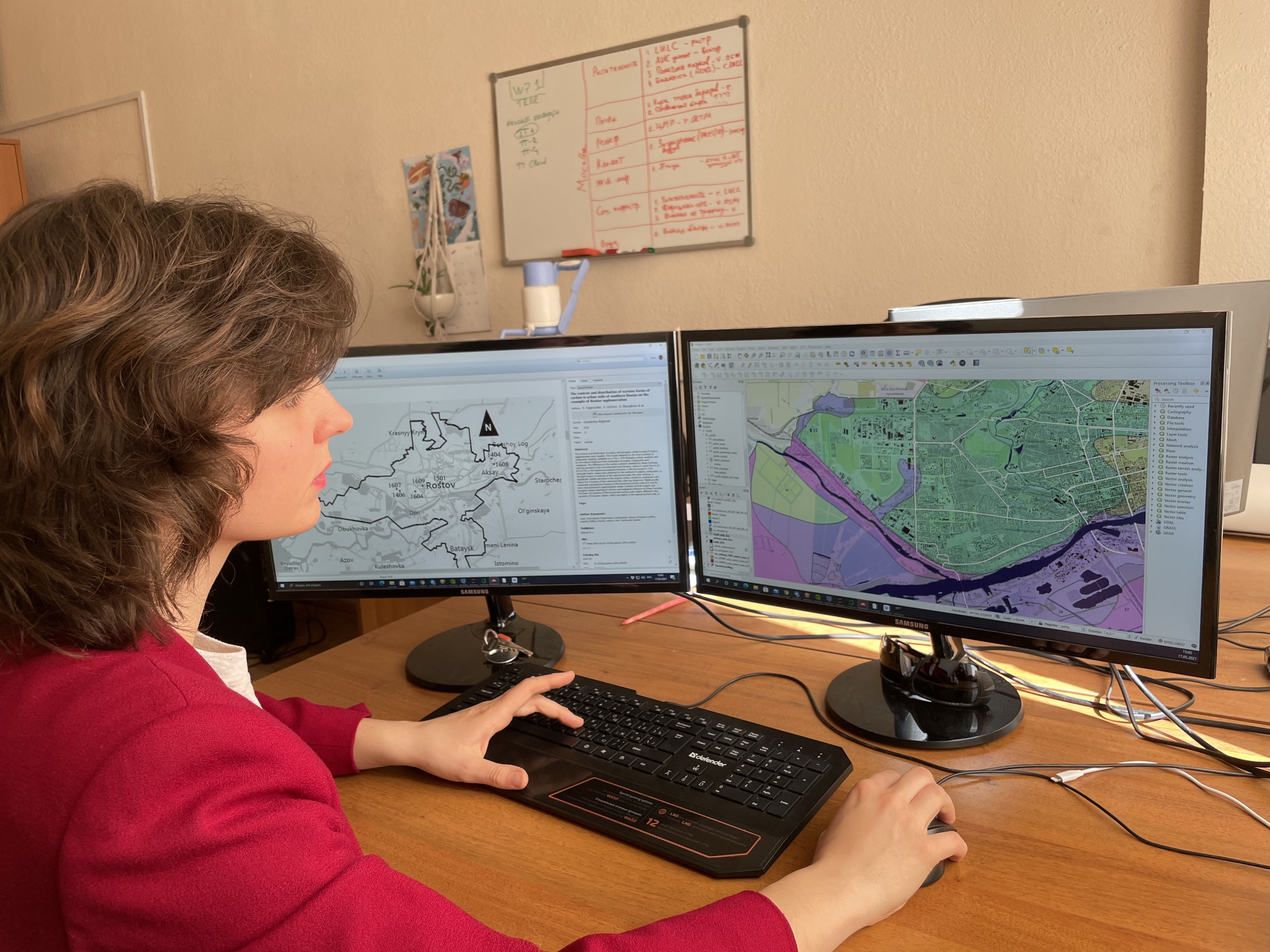
The team of scientists of SUN Lab (RUDN University) in collaboration with scholars from Moscow State University and Southern Federal University got their article “Projecting the urbanization effect on soil organic carbon stocks in polar and steppe areas of European Russia by remote sensing” published in Geoderma, the global journal of Soil Science. The research was supported by a grant from the Russian Science Foundation (RSF).
With the help of satellite images and archival data, our scholars have established the mechanisms of the impact of urbanization on the state of soils in the forest-tundra and steppe zones. Previously, it was commonly believed that covering the soil with asphalt, concrete and other impermeable materials leads to an overall decrease in carbon stocks in soils of urban areas. But it was revealed that in Murmansk and Rostov-on-Don, the total carbon stocks in a meter layer of the earth have significantly increased due to the development of urban green infrastructure.
Soil fertility is one of the key factors for which people have chosen a place to live for a long time. However, if earlier cities were formed in places with the most favorable conditions for agriculture, now a person himself influences the environment and adjusts it for himself. Moreover, with the growth of cities, soils change significantly. For example, during the construction of new buildings and major highways, the fertile layer is completely removed, which significantly depletes land resources and causes concern for scientists.
One of the most significant indicators of fertility is the organic carbon stock. This parameter characterizes the ability of the earth to bind and retain nutrients from rotting plants. Urban green infrastructure development can help conserve or even increase organic carbon stocks in urban soils, and monitoring of their condition is necessary to understand how urban development affects the ecological functions of soils in different climatic zones. As the level of urbanization is constantly growing and changing, monitoring requires effective tools for collecting information. Remote sensing is one of them. Our scientists team analyzed surface types from satellite images. For the study, the scientists chose Murmansk, located in the forest-tundra zone beyond the Arctic Circle, and Rostov-on-Don, famous for its chernozems.
Using satellite data, scholars have classified the surface types of the territories of these two cities. They highlighted asphalt-covered surfaces, green spaces, lawns, and areas of open soil. Based on past work, geologists have compared surface types and their organic carbon levels. Using archives with soil maps, scientists calculated the level of carbon stocks in the soil before the development of the city, and the data from the images allowed us to assess the current picture.
It turned out that for the territory of both cities, the reserves in the first meter of the soil profile increased significantly, while for the forest-tundra zone the trend was noticeably more pronounced than for the steppe zone. For reserves in the upper layer (10 cm), scientists found an 18% decrease in Rostov-on-Don and an increase of 30-50% for Murmansk. The reasons for these changes were related to urbanization, transformation of surface types and the rate of mineralization of organic matter (plant rot).
“We have received data on how much soil carbon is contained in urban soils in two completely different natural zones. The studies also revealed serious gaps in map data characterizing Russian soils, especially for cities. For example, a comparison of the global, Russian and regional databases showed that there are no high-quality regional maps for Murmansk. However, we were able to quantify how urban development affects soil properties in fairly high detail. In the future, we plan to analyze how the condition of the soil affects the well-being of urban residents and sustainable development of cities, including biodiversity and air purity,” said Yuri Dvornikov, PhD in Geology and Mineralogy, Researcher at Smart Urban Nature center.
As the scholars claim, results obtained during the research can be used for planning sustainable development of urban areas.

