Very-high resolution digital terrain analysis for eco-pedological and hydrological purposes
Description
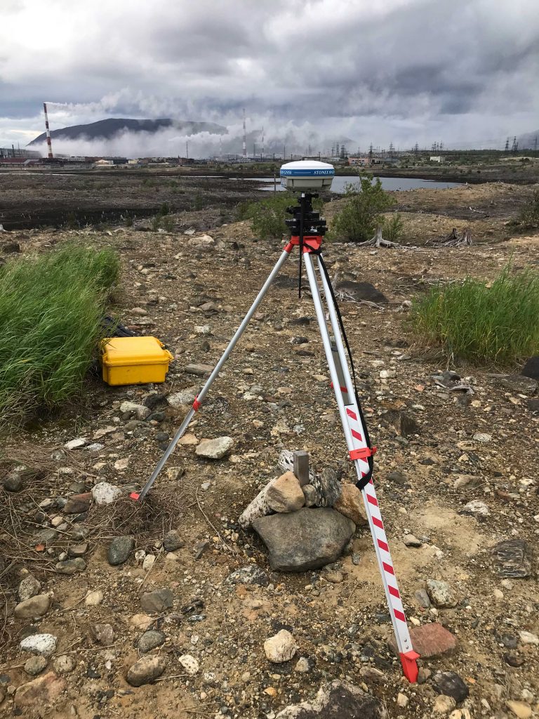
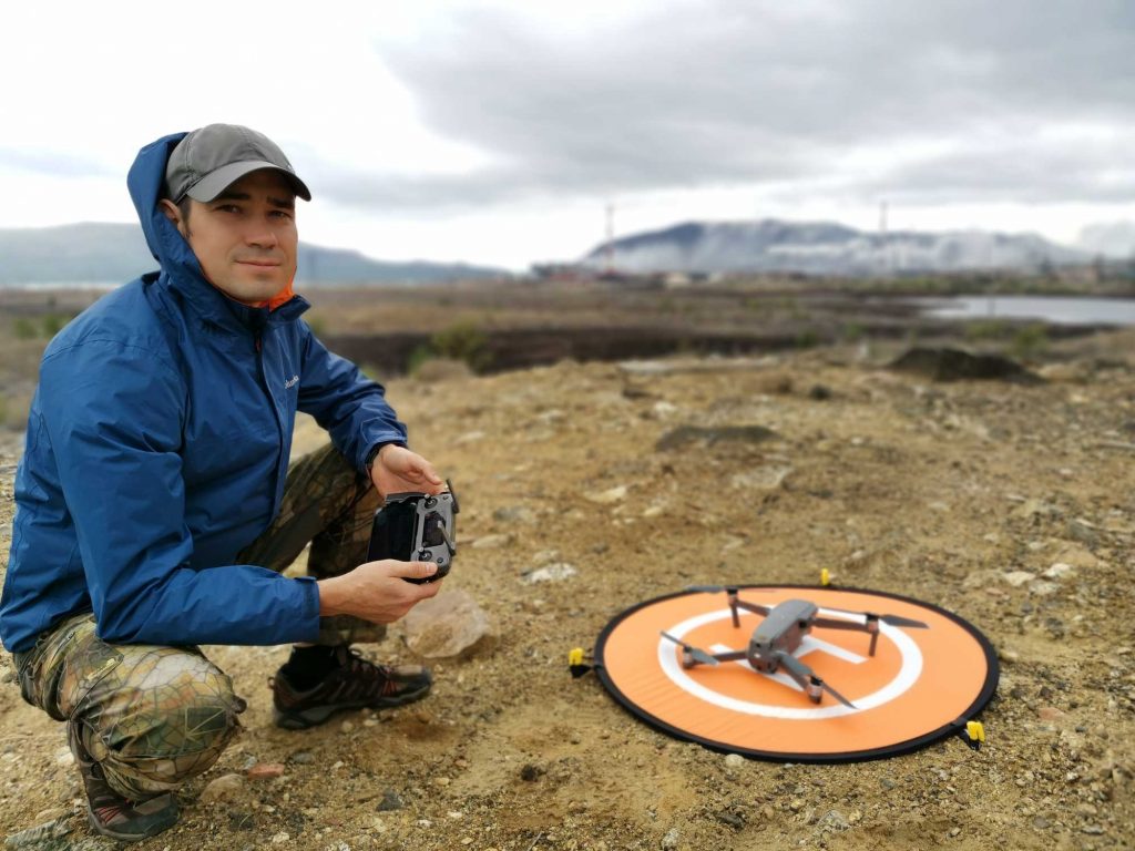
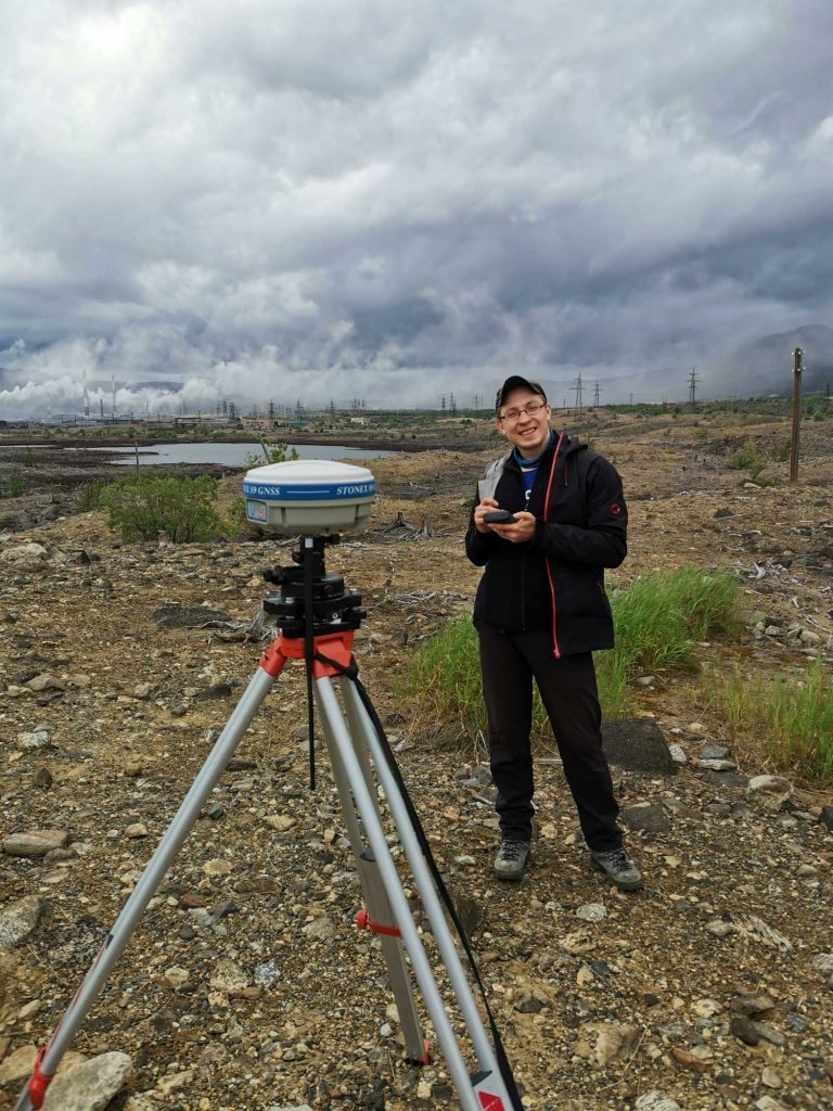
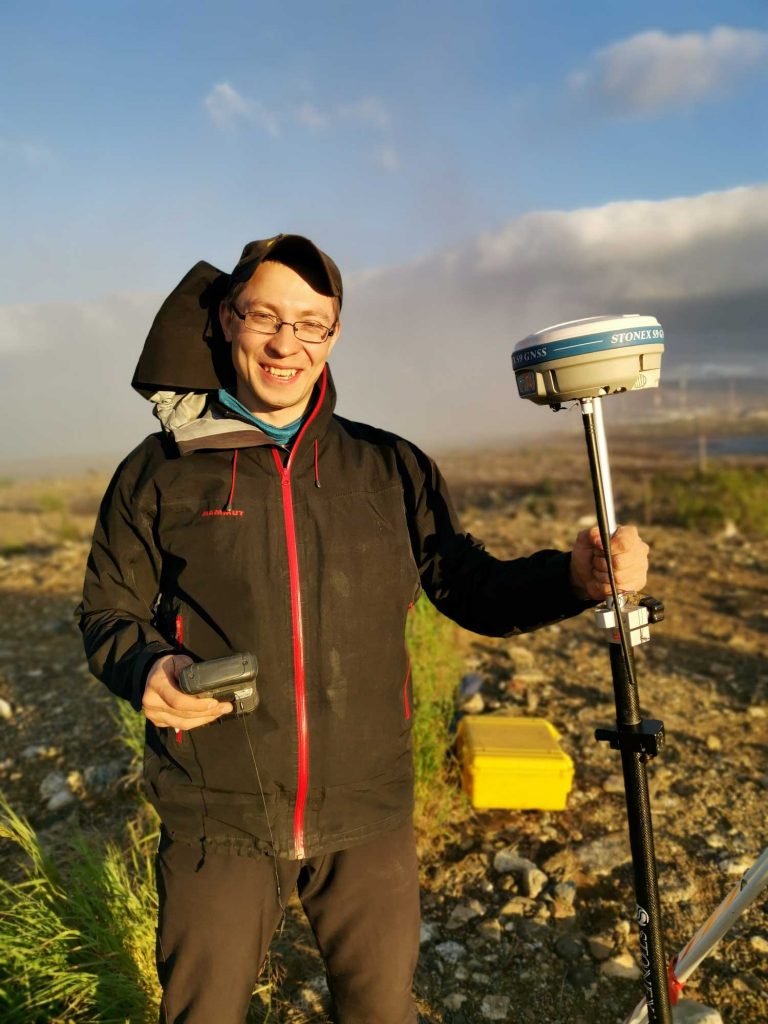
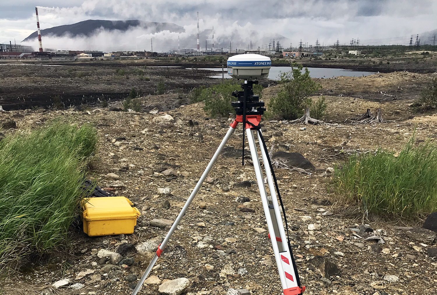
Topography is among the most important components of the landscape. It plays an important role in re-distribution of matter and flows. State-of-the-Art remote sensing and GIS (geographic information system) technologies allow the fast and cost-efficient topographic quantitative analysis at very-high (sub-meter) resolution. This includes unmanned aerial vehicle (UAV) survey data coupled with high-accuracy ground surveys using differential global navigation satellite system (GNSS).
Main deliverables
Application
To read about
High-resolution mapping of soil pollution by Cu and Ni at a polar industrial barren using proximal and remote sensing
Land Degradation & Development, 14 March 2022
Yury Dvornikov, Marina Slukovskaya, Alexey Yaroslavtsev, Joulia Meshalkina, Alexey Ryazanov, Dmitrii Sarzhanov, Vyacheslav Vasenev