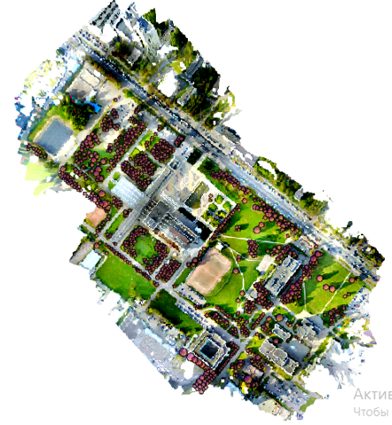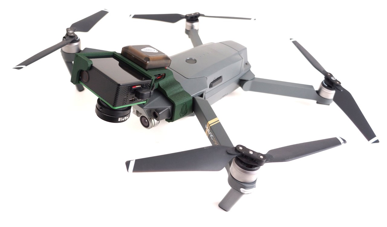
Remote plants assessment using very-hight resolution IMA / UAV data
Description
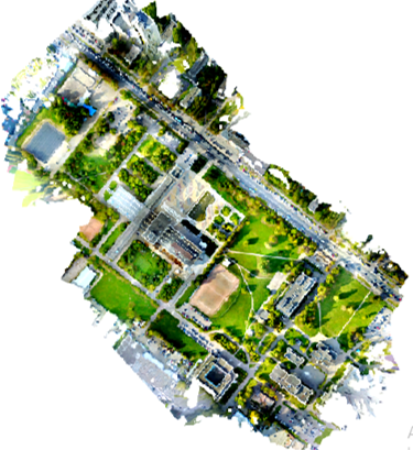
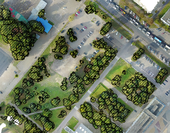
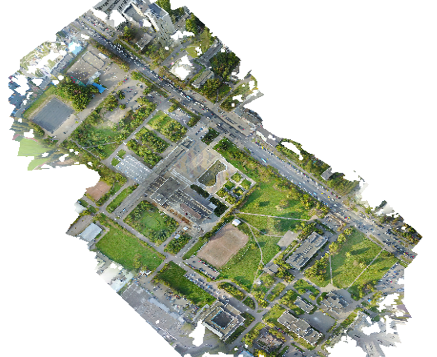
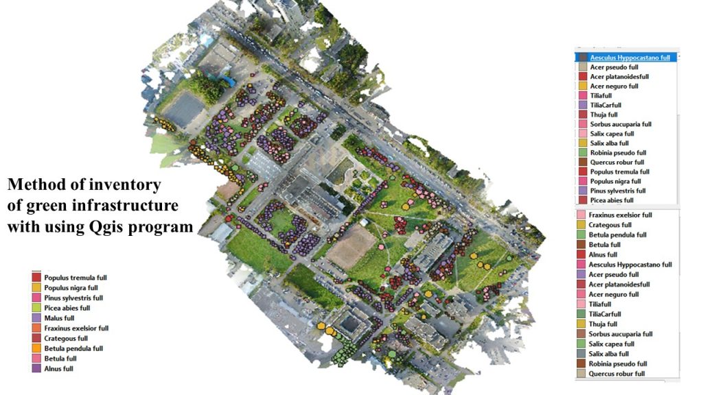
Remote plants assessment using very-hight resolution data allows to make inventory of the trees and calculate some biomass parameters. Plants are constantly subjected to anthropogenic load in megapolis, that’s why they need regular assessment. That method can safe time for inventory of green infrastructures especially on bigger territory. Also the method is more accurate at green assessment.
Our approach to assessing plants allows us to obtain highly accurate results quickly.