About the project

  • Date: June 28, 2021
  • Client: “Yauza project” bureau, Russia
  • Category:
  • Address: Cherepovets city
The project describes the results of the analysis of the natural environment of the city of Cherepovets and contains proposals for optimizing the spatial planning of urban green infrastructure (UGI). Spatial analysis of the territory using remote sensing methods has made it possible to identify and interpret a number of urban environmental problems. On the basis of the analysis, proposals on solving these problems with the help of "green" technologies were developed.

Benefits of Project

Urban green infrastructure in this project is considered not only in the context of nature conservation in the city, but also as a component of the urban environment that is significant for sustainable urban development in general (sustainable development goals, UN SGL).

The report presents:

  • Characteristics of geological deposits and relief, which significantly limits the development of the city.
  • The modern landscape cover and its changes over the past 40 years.
  • The features of surface runoff transformation, the formation of an urban heat island, air pollution and fragmentation of the vegetation cover.
  • Results of the analysis and recommendations for improving the urban environment by developing urban green infrastructure, creating a system of cores and corridors, reducing the fragmentation of urban green infrastructure, and developing a system for managing it, monitoring and evaluating its functions.

Technologies What We Used

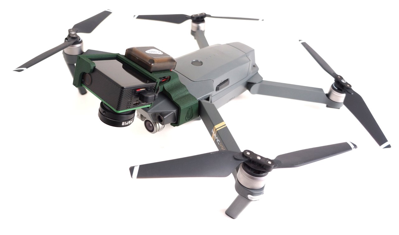
Remote plants assessment using very-hight resolution IMA / UAV data

Remote plants assessment using very-hight resolution data allows to make inventory of the trees and calculate some biomass parameters.

Partners